Manuscripts
Map showing Proposed extension L.A. and P.R.R. from Bellevue Ave. to the Junction

You might also be interested in
Image not available
Friel, L
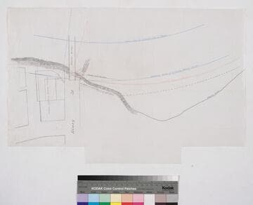
Manuscripts
Proposed extension L.A. and P.R.R. from Bellevue Ave. to the Junction [Bellevue and New High St. to Lucille Ave. and Effie St., encompassing Avila, Montana, and Golden Gate Tracts, Childs Heights, Blocks 43, 29, 41, and 45, Hancock's Survey]
mssSolano

Map of the Solano Tract No. 2
Manuscripts
Being a subdivision of Lots 6, 7 and the East half of Lot 5, Block 46, and Lot 2, Block 45, Hancock's Survey of Donation Lots, along Effie St. south of Elysian Park, from Bishop to Solano Ave., Yorktown to Sampson St.. Pink & black ink, pencil notations, calculations; shows vegetation adjacent to Elysian Park to the north. Alt title supplied by cataloger.
mssSolano SR_Map_0743.01

Map of the Solano Tract No. 2
Manuscripts
Being a subdivision of Lots 6, 7 and the East half of Lot 5, Block 46, and Lot 2, Block 45, Hancock's Survey of Donation Lots, along Effie St. south of Elysian Park, from Bishop to Solano Ave., Yorktown to Sampson St., with an extension off Solano Avenue SE to Buena Vista Street with subdivision, showing Catholic Cemetery off Bishop Avenue [as does the following map]. Alt title supplied by cataloger.
mssSolano SR_Map_0743.02

Plat showing the proposed lines of Los Angeles St. extension
Manuscripts
Near Macy St. to Commercial St., Olivera/Sanchez St. and Plaza to Alameda St. and Negro Alley, showing structures, lot owners around Plaza & Negro Alley; courses, distances. Verso: Los Angeles Extension & Negro Alley 1888. Alt title supplied by cataloger.
mssSolano SR_Map_0702
Draft map showing approach to proposed location of Los Angeles Terminal Ry. in vicinity of Macy St
Manuscripts
Also showing So. California Packing Co., covered bridge of Macy St. crossing Los Angeles River, structures and surface detail. Alt. title supplied by cataloger.
mssSolano SR_Map_0719.02
![Map of Los Angeles vicinity showing Los Angeles Pacific Railway, Los Angles Interurban Ry, Los Angeles Railway, Los Angeles and Redondo Ry.; S.P.R.R., A.T. & S.F. [and 6 additional lines and proposed franchise routes]](/_next/image?url=https%3A%2F%2Frail.huntington.org%2FIIIF3%2FImage%2F22APN4635OLY%2Ffull%2F%5E360%2C%2F0%2Fdefault.jpg&w=750&q=75)
Map of Los Angeles vicinity showing Los Angeles Pacific Railway, Los Angles Interurban Ry, Los Angeles Railway, Los Angeles and Redondo Ry.; S.P.R.R., A.T. & S.F. [and 6 additional lines and proposed franchise routes]
Rare Books
Shows rail lines of the railways with service in the Los Angeles to Redondo area, including Southern Pacific Railway and the Atchison Topeka & Santa Fe. Shows Hill St. Tunnel, Temple St. Line, Fourth St. Tunnel, Sixth St. Line, Bimini Baths line and Pico St. Line as well as proposed franchise lines in red. This appears to be a later state of a map without the additional lines and proposed franchises. Covers the city of Los Angeles with Hollywood and the Santa Monica Mountains to the north; Santa Monica and the coast, including Playa del Rey, Manhattan, Hermosa and Redondo and Gardena to the southeast. Main Street, Los Angeles, serves as the eastern border of the map. Scale not given. Coordinates not present on map, approximated from Google maps. Relief given in hachures. Produced in the period 1903 to 1910 when all of the railways listed were in operation. Provenance unknown, in library as of 2017. Appears to have come from the office of one of Henry E. Huntington's railway companies.
646650